
Rapid Emergency and Disaster Management with Drones
In times of crisis, timely and accurate data is critical for effective disaster response. Our Emergency and Disaster Management services use advanced drone technology to assist communities during recovery efforts. Drones provide real-time aerial views of disaster-affected areas, enabling quick damage assessments and detailed mapping, which are essential for streamlining recovery processes and supporting emergency services.
Real-Time Damage Assessment and Mapping
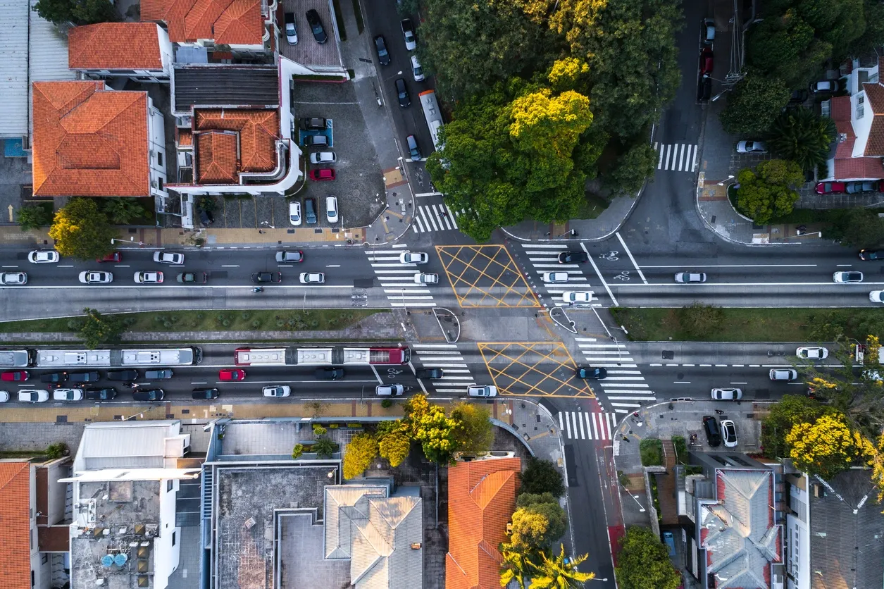
Our drones are equipped to capture high-resolution imagery and data in real time, allowing emergency responders to quickly assess the extent of damage in affected areas. Whether it’s after a natural disaster, fire, or industrial accident, drones can rapidly cover large areas and provide detailed, up-to-date visuals that help determine priorities for response teams. This immediate insight is crucial for making quick, informed decisions that can save lives and resources.
Efficient Disaster Recovery and Response
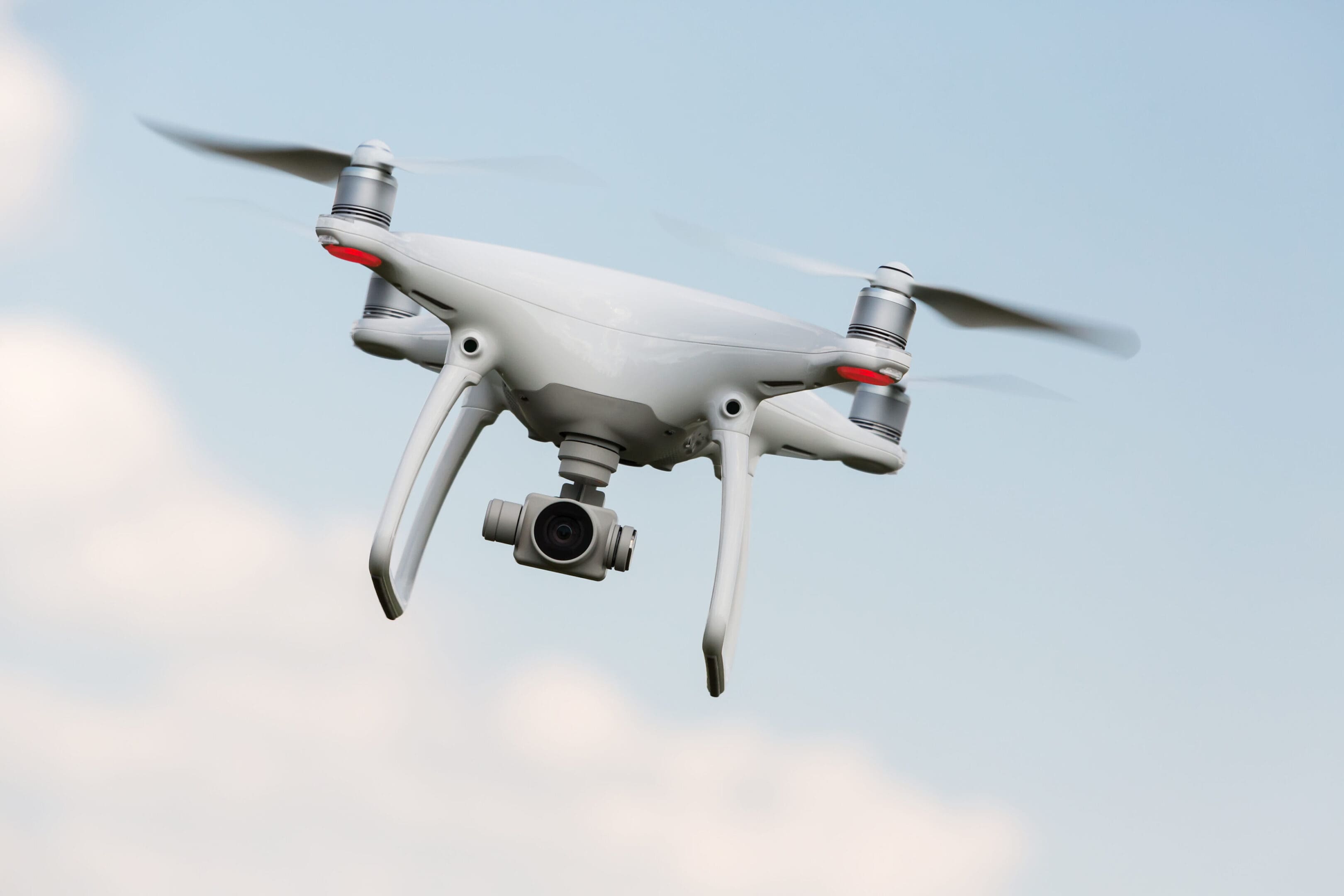
Time is of the essence when dealing with disaster recovery, and our drone services significantly reduce the time it takes to assess and respond to critical situations. By bypassing the limitations of traditional methods, such as on-the-ground inspections or satellite imagery, drones provide a faster and more effective way to gather information. With the ability to access hard-to-reach or dangerous areas safely, drones ensure that recovery efforts are not delayed due to accessibility issues.
Supporting Emergency Services with Aerial Insights
Drones play an invaluable role in assisting emergency services during disaster management. They can provide critical data that aids in coordinating response teams, delivering supplies, and navigating through complex or hazardous environments. With advanced thermal and infrared sensors, drones can also locate hot spots, search for survivors, and help in search-and-rescue operations, ensuring that the response is both efficient and thorough.

Streamlining Recovery Operations
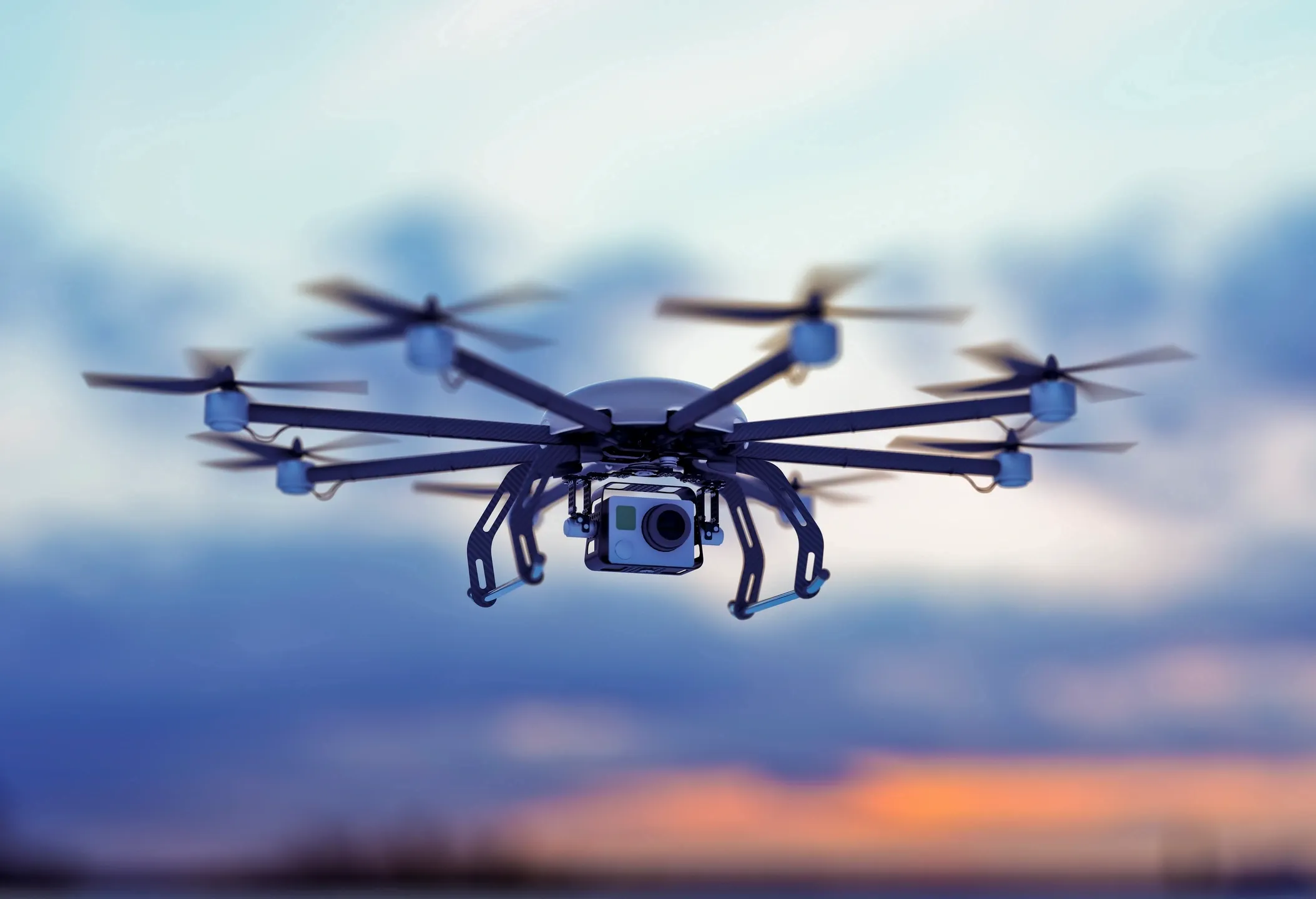
Once the immediate response phase is over, drones continue to play a vital role in the recovery phase. Detailed aerial imagery and 3D models produced by drones help local governments, insurers, and recovery teams understand the full scope of damage. These assets aid in infrastructure assessments, insurance claims, and the planning of rebuilding efforts. Drones provide essential data for organizing recovery tasks, helping to allocate resources where they are most needed and ensuring that nothing is overlooked.
Enhanced Collaboration and Coordination
Our drone services offer enhanced collaboration and communication between different emergency response teams. The real-time data captured by drones is instantly shared with multiple stakeholders, including emergency services, government agencies, and humanitarian organizations. This seamless data sharing ensures that everyone involved in the recovery efforts is on the same page and can make coordinated decisions, leading to a more unified and effective recovery process.

Critical Support in Crisis Situations
In emergency and disaster management, every second counts. Mathieson Imagery’s drone technology provides the essential support needed to assess, respond to, and recover from disasters efficiently. Whether it’s assessing flood damage, surveying wildfire-affected areas, or providing mapping for earthquake recovery, our drones are an indispensable tool for communities and responders working to rebuild after a crisis.