Aerial Mapping
Our Aerial Mapping Services leverage cutting-edge drone technology to capture extensive land data, overcoming traditional barriers such as distance and challenging terrain. This innovative approach is ideal for a wide range of applications, including surveying, mapping, property development documentation, and creating detailed project maps. Drones offer a level of efficiency and accuracy that is unmatched in many industries.
Transforming Surveying and Mapping with Drones
Drones have revolutionized the way land data is captured and processed. By providing real-time, high-resolution imagery from the air, our aerial mapping services enable faster and more accurate surveying than traditional ground-based methods. This is particularly beneficial for large-scale projects, where time and terrain can complicate data collection. Drones can easily cover vast areas and deliver consistent, precise results, streamlining the mapping process.
Supporting Key Industries with Advanced Mapping Solutions
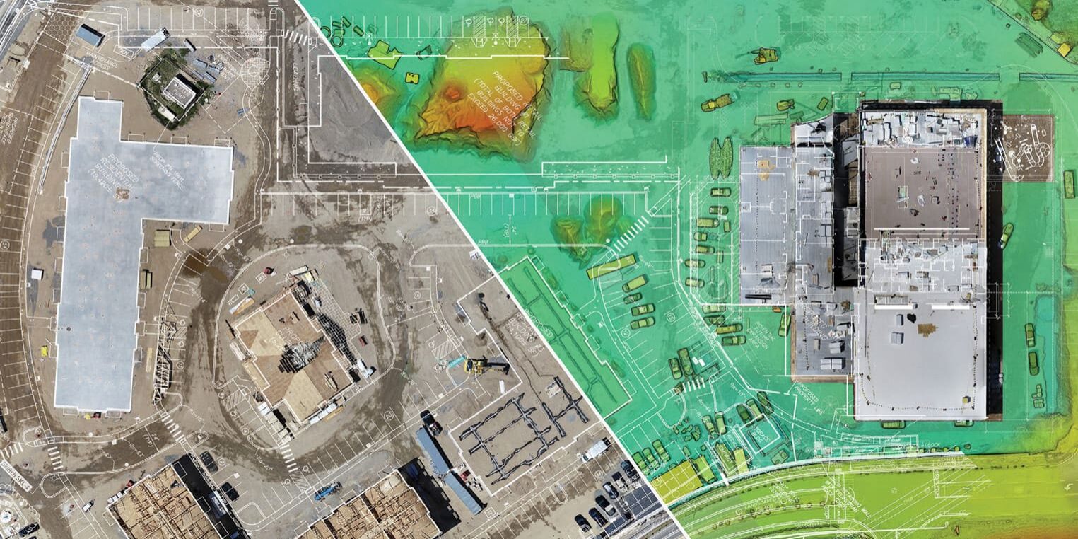
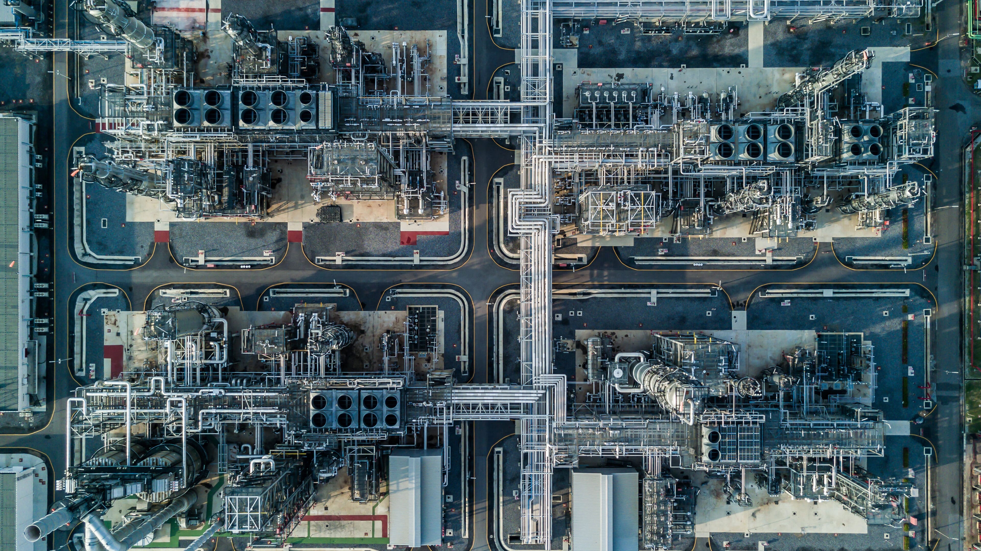
Our aerial mapping services are tailored to meet the needs of diverse industries, including construction, mining, city planning, inspections, infrastructure, agriculture, and nature preservation. Whether it's creating topographical maps for construction projects, monitoring agricultural land, or documenting environmental changes, our drones provide the tools and accuracy necessary to support complex projects across various sectors.
High-Precision Data Collection
Using advanced drone platforms equipped with powerful tools like LiDAR (Light Detection and Ranging), GPS, and thermal sensors, our drone surveyors capture a wide range of data types. This allows for highly accurate, multidimensional information to be collected in real time. The data is then processed into survey point clouds, which serve as the foundation for 3D modeling, detailed reports, and actionable insights.
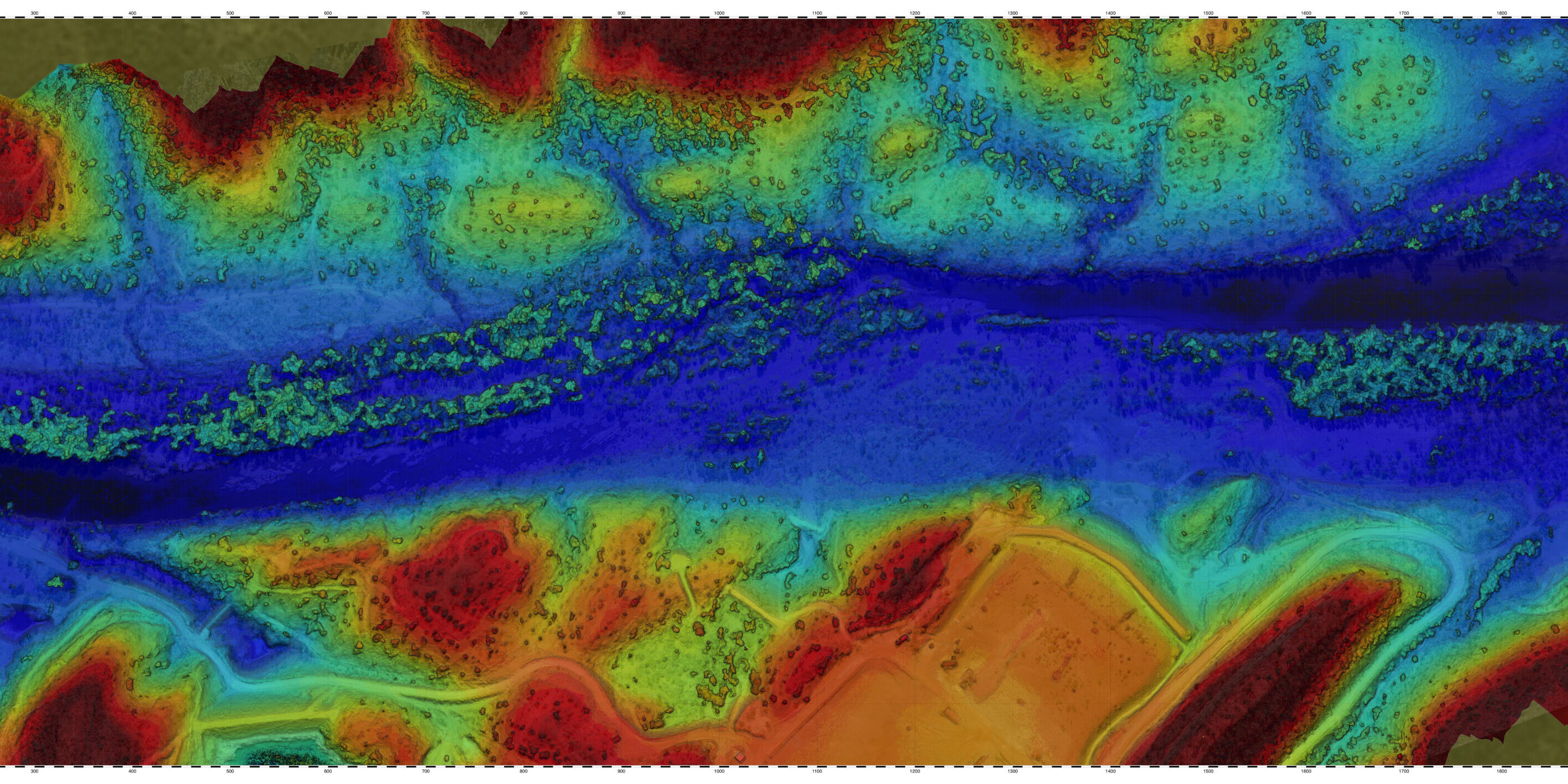
3D Modeling and Data Processing
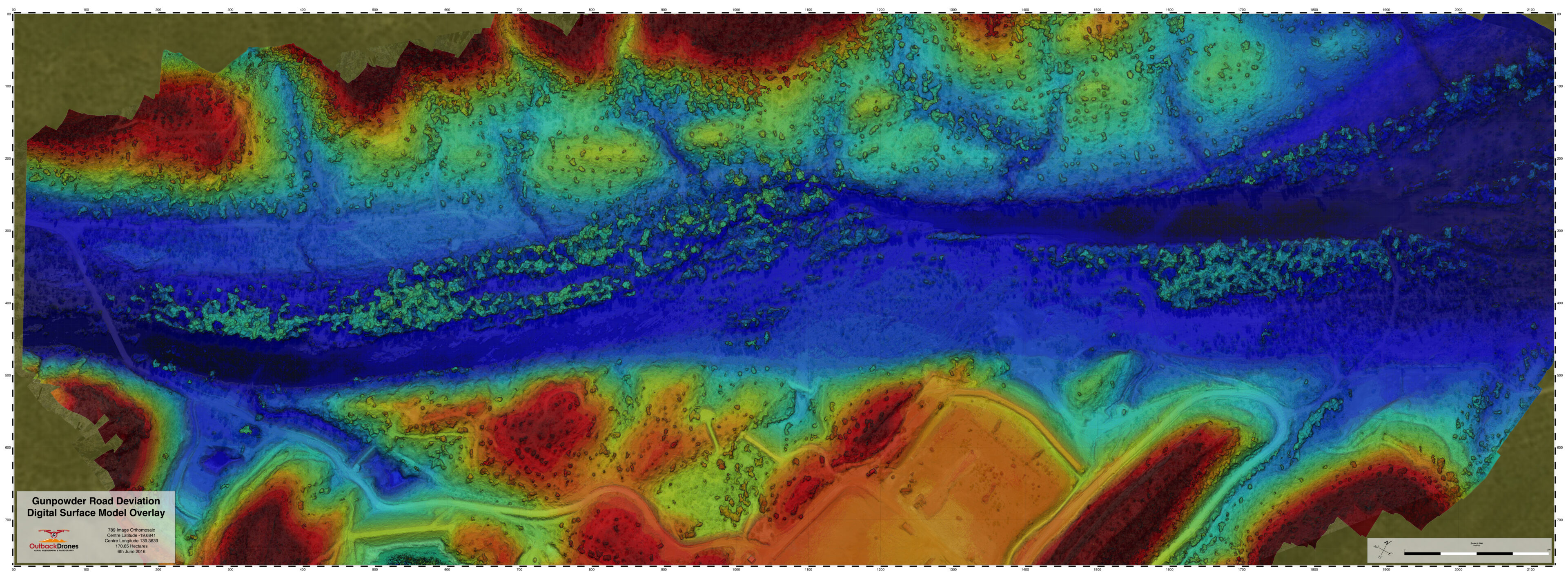
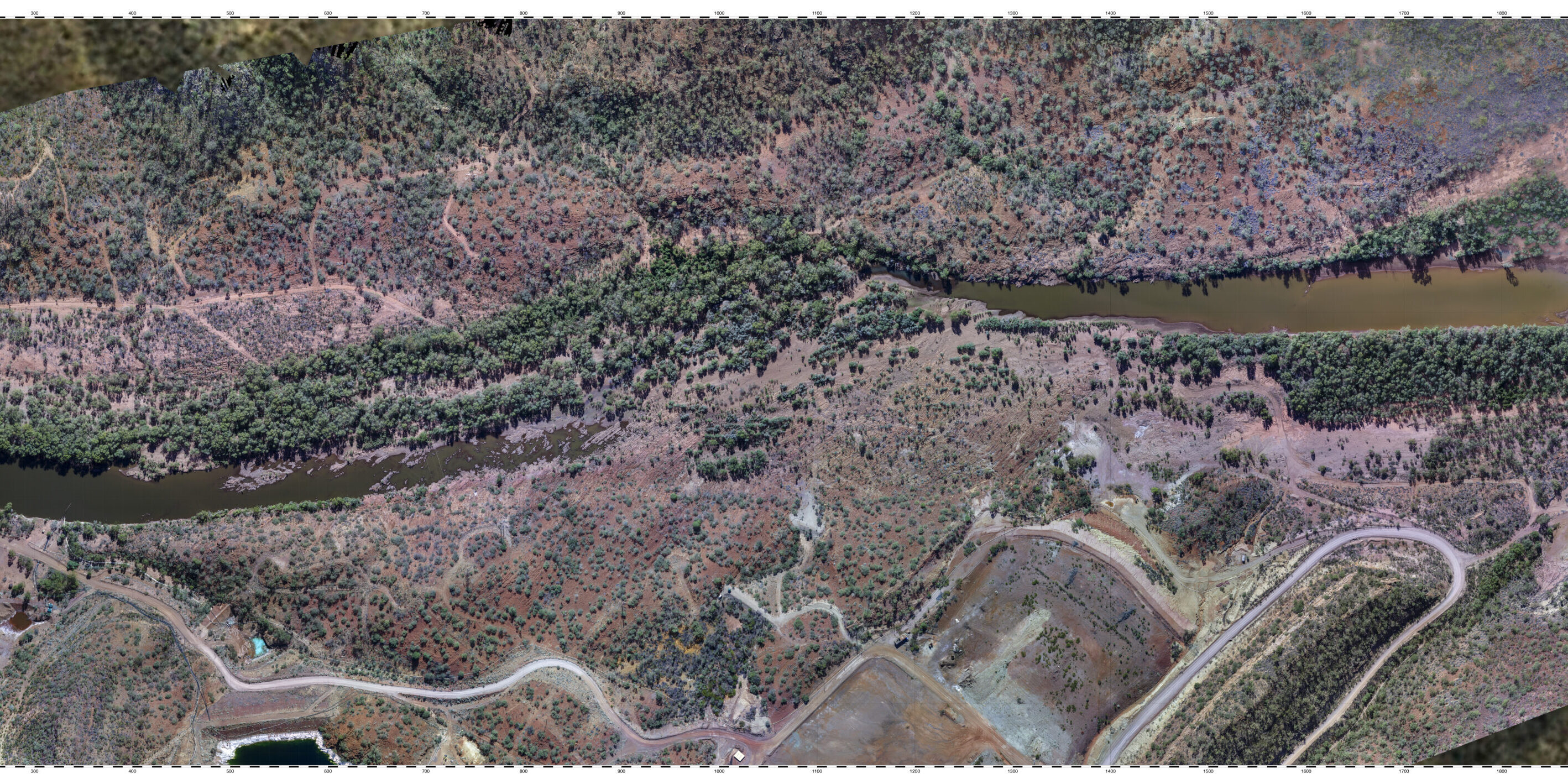
The data captured by our drones is processed into highly detailed 3D models, which offer an accurate, visual representation of the surveyed land or infrastructure. These 3D models are invaluable for project planning, design, and analysis, providing stakeholders with a comprehensive view of the terrain or development site. Our mapping services also include creating orthophotos, digital surface models (DSM), and digital terrain models (DTM), enhancing the depth of your project’s data.
Enhanced Reporting and Documentation
Once the data is collected and processed, we generate thorough reports and visual documentation, which can include high-resolution maps, 3D models, volumetric calculations, and more. These reports are essential for stakeholders who require precise data to make informed decisions, whether it's for land development, environmental impact assessments, or infrastructure projects.


Real-Time Mapping for Greater Efficiency
With drones, real-time aerial mapping enables quicker turnaround times and more efficient project management. No longer are long waits for manual data collection or delays due to difficult terrain a concern. Our drone services speed up the process, providing you with accurate and up-to-date data faster, which can be especially valuable for time-sensitive projects like land surveys or disaster response mapping.