Advanced Technology for Superior Imagery
Mathieson Imagery is a leading specialist in Mapping, Photography, and Filming. Dedicated to excellence, we invest in the latest technology and talent to deliver top-tier aerial and ground imaging for industries including mining, emergency services, agriculture, environment, property, events, film, and television. Our approach focuses on providing fresh angles and perspectives, ensuring high-resolution images and videos with precision and creativity.

Versatile RPAS Inspections
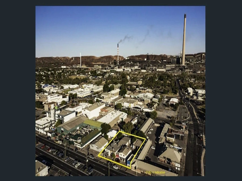
Remote Piloted Aircraft Systems (RPAS) can reach locations inaccessible to conventional aircraft. We deliver high-definition aerial imagery for mapping and inspections, covering properties and structures of all sizes, including sites over 1,000 hectares. Our RPAS have considerably lower running costs than traditional aircraft and cranes, enabling us to achieve more in a single day compared to conventional methods.

CASA-Licensed and Insured
Backed by a licence and authorisation from the Civil Aviation Safety Authority (CASA), we offer fully accredited and insured drone services. Partnering with us means working with a reputable, professional service provider. Our certified RPAS pilots and an award-winning team in remote Queensland and New South Wales will expertly plan, compose, and capture the shots to meet your needs.
Extensive Coverage
We’ve covered diverse events and projects, from corporate events and livestreaming to site mapping. Operating across central and western Queensland, the Northern Territory, and eastern Australia, we handle local events like country horse racing and rodeos, as well as national TV networks like Channel Seven News Brisbane and major commercials like Coca-Cola’s Christmas events. Contact us to discuss your next project.
Our Valued Clients
Site Content
Channel 7 News QLD
We are working closely with the Channel 7 News. We have provided interviews and footage from the North West for several years.
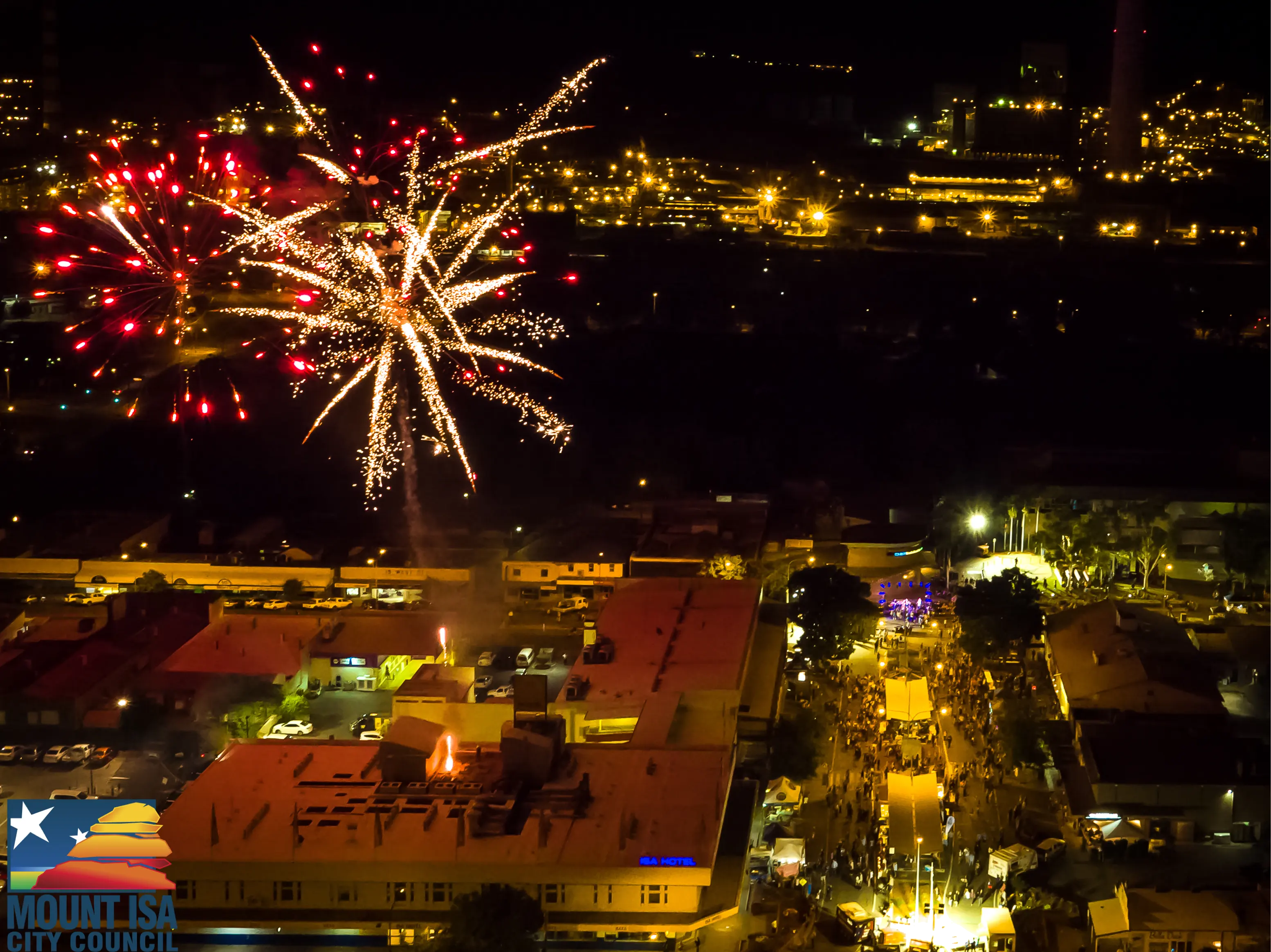
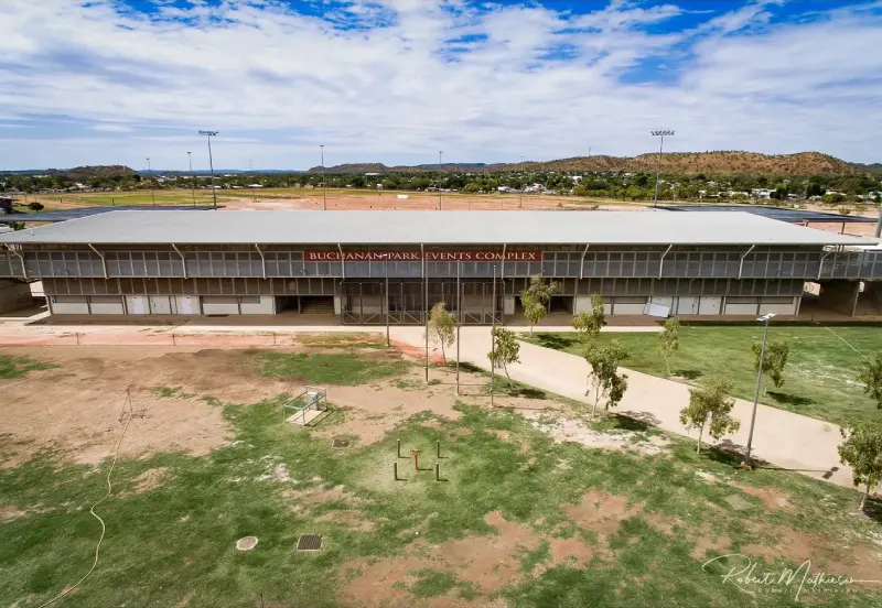
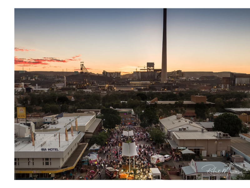
Mount Isa City Council
Mathieson Imagery has worked closely with Mount Isa City Council on various events and departments, including multiple projects and events.
Jays Realestate
Jays' Real Estate and Mathieson Imagery have had a very close relationship over the years, working on both residential and Commercial properties in Mount Isa.
ForPark Australia
Mathieson Imagery recently conducted for ForPark Australia on a project install they did at Mount Isa City Council Family Fun Park.
Regional Cast, Live Streaming Anywhere, Anytime!
At Regional Cast, we encourage an open, respectful dialogue with our many valued stakeholders. Social media can be an essential tool in information-sharing, education and promotion of a connected community. Social Media can also be misused; therefore, we outline our expected conduct for posting on Regional Cast social media below.
Mount Isa Race Club
Real-time Watch This Space
With the assistance of Regional Cast, we assisted with the livestreaming of racing for Mount Isa Race Club. Since then, Mathieson Imagery has been in discussions to work closely with MIRC to bring new and invented ways for racegoers and punters alike to see the racing happen in real time and in an extraordinary way!
Good things are coming.
Flame Tree Pictures
Possibly our longest partner to date, Flame Tree Pictures and Mathieson Imagery work together within the film and television industry, providing RPAS (Drone) images and footage from their initial project together in Australia's Red Centre over seven years ago the friendship has bonded and continues to grow.