Professional Photography Services
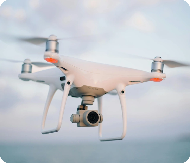
Award-Winning DSP - Drone Service Provider
Recognised for excellence in aerial photography.
Nationwide, Tailored Solutions
Custom drone services across all regions.
Cutting-Edge Expertise
Advanced tools for precise, high-quality data.
Precision Aerial Data for Your Projects
Mathieson Imagery is your trusted partner in cutting-edge drone photography and aerial mapping across Australia. With over a decade of expertise, we specialise in delivering accurate, detailed, and timely data to boost safety, efficiency, and cost savings for your projects. Our tailored services are designed to meet your unique needs, ensuring you receive the highest quality solutions.
Unmatched Expertise
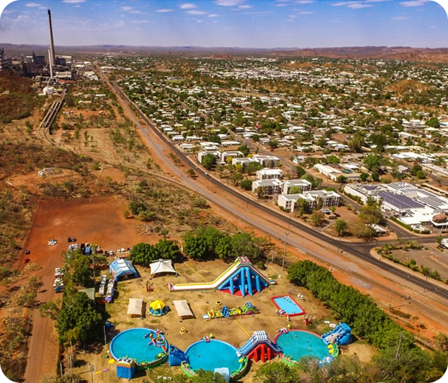
At Mathieson Imagery, we pride ourselves on delivering high-definition aerial photography and mapping services. Leveraging state-of-the-art technology and unparalleled expertise, we capture the finest details from above, helping you make informed decisions.

Versatile Drone Services
Mathieson Imagery provides high-quality aerial inspections for complex infrastructure, captures detailed images and videos for various purposes, and gathers data over large areas for valuable insights. We also support rapid damage assessment and recovery in disaster situations. Each solution is customised to your project needs, with pricing varying accordingly.

Discuss Your Needs
Ready to elevate your projects with cutting-edge solutions? Get in touch with Mathieson Imagery today to discuss your needs, and discover how our expert services can provide the insights you need. Contact Us for more information.